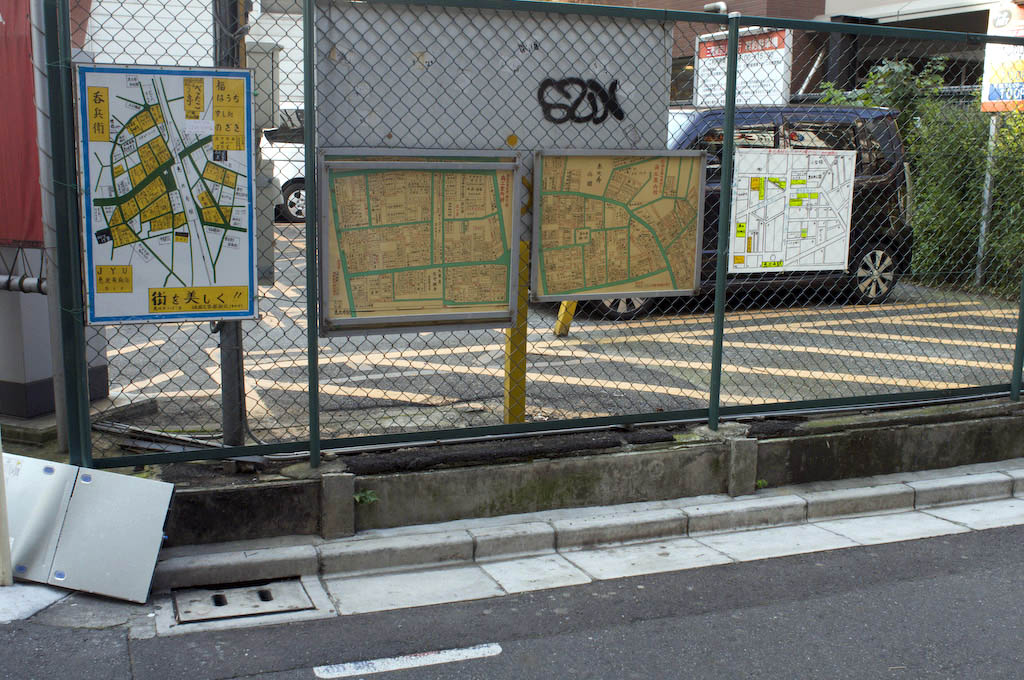
The time frame in which this array Ebisu neighbourhood maps will be replaced a single digital alternative?
If everyone carries a device that can access the universal digital map in their pocket the time frame that people turn away from the neighourhood map, digital or otherwise? Does the neighbourhood map have a future?
Maps are one of the purest forms of advertising capable of directing (or misdirecting) trusting souls to one location or another, giving people what they (think they) want whilst introducing paid for content into the mix. Why is that chain of coffee shops used as a neighbourhood landmark? What other options tempt you away from your original goal and who paid for them to be there? There is no one universal map, only universes of maps competing for your attention – some carried, some embedded in the world around you. Will that map in your pocket offer up an unbiased view of the world? How does it compare to the neighbhourhood map provided by the local authority? Which one will you turn to in which context?
The time frame in outdoor display costs fall to the point where this array maps becomes digital? Whose name will be embossed on the map frame? How many competing maps will there be? And bearing in mind the map in your pocket – who will be best positioned to understand the nuances of what you want in front of you, in you pocket, and what goes on in the cloud?
Today’s Sunday morning back-of-envelope calculations: the cost of an outdoor display; the revenue generating by ‘redirecting’ people to paying content providers; the ability to track the effectiveness – you though Google ad conversion tracking was neat, just wait until it applies to this map, the shops/restaurants around this neighbhourhood.
Thought for today: using conversion tracking to engendering behavioural change based on societal goals – incidents of STD’s in relation to condom vending machine location awareness, or fine tuning recycling.
