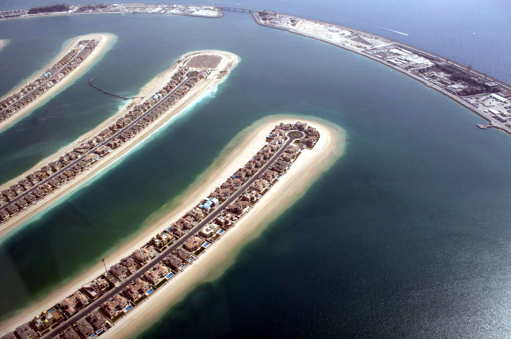
In a world of ubiquitous aerial, street level or [insert new way of seeing] imagery the extent that new views enhance or depreciate the the financial value of what is seen?
One aspect of living in a cul-de-sac’s is the assumption of a greater degree of privacy than say, a through road. Whether contempory tools tools should build this assumption into the granularity/detail of what is shown on aerial maps? And for whom? And given this sadistic brave new world how increased discoverability plays out in sales for new property developments such as the cul-de-sacs of the Palms islands in Dubai (pictured).
