Prepping for a field study in Rwanda and a few other places this week.
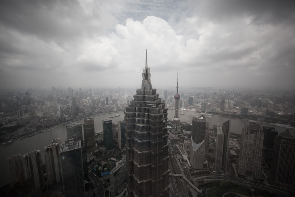
Knowing how to interpret a satellite photos and data from other mapping tools can help the team narrow down the most appropriate candidate cities and towns (it is tricky to identify the most relevant villages because there are so many and because it often takes a direct lead on the ground to select one village over another). It is especially useful for studies in far-flung places where the geography and layout is less well known and where the accuracy of other data sources cannot be ascertained. For example it is easy to pull population data for most cities online – but it is not always clear whether the data refers to the city center, the greater cosmopolitan area or an entire province. Scanning a map for urban spread including high and low-density housing can be a good reality check for expected population and density. Give or take cloud cover, it is possible to zoom in on individual buildings.
The breadth and granularity of data that is becoming available in many instances for the first time, giving the researcher new ways of reading candidate locales. Many types of data are overlaid onto maps, sometimes in real-time – traffic, photos, real-time messages, check-ins, each can give a sense of what is happening where, and helps focus the research.
As the in-field date draws closer the team will likely conduct more informal remote sensing exercises to fine tune their understanding of what is going on the ground. A map layer can be used to collate all the information in one place, and having the recently hired local fixers and guides contribute places of interest to the map layer helps calibrate them to the project requirements. (For more novice guides that may be nervous about working with a foreign team it is an easy way to ease them into the study and build confidence).
Additional remote sensing prior to the study can hone in on:
- * The likely traffic rhythm and flow in different parts of the city.
- * Building a working knowledge district names, landmarks and places of interest.
- * Likely residential areas that represent the target demographics.
- * Appropriate neighbourhoods to situate the team.
- * Markets and other commercial and social hubs.
- * Cultural landmarks: theatres, entertainment districts, red-light areas, and stadiums.
The more this information is allowed to bubble up during preparation, the more it feels natural to the team on arrival.
There are a few ways this will play out in the future perfect: the data will become every more granular; better connectivity will support more real time feeds to the point that most rerearch teams will have a designated “remote sensor” back at the studio collating, curating and disseminating data feeds; and quirky outliers such as being able to remote un-registered control drones for flybys, cameras mounted on autonomous vehicles.